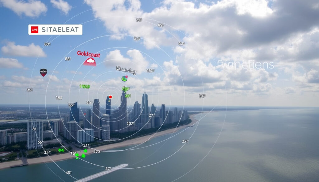
Gold Coast Radar Guide: Live BOM Weather Updates & Loops
If you’ve ever checked the weather on the Gold Coast and wondered why the radar image says “Brisbane,” you’re not alone. That data comes from the Bureau of Meteorology’s radar at Mt Stapylton, about 60 km north-west of Surfers Paradise. This guide explains how to use that radar, what the different range settings mean, and why the Gold Coast leans on a Brisbane-based radar for its weather monitoring.
Bureau of Meteorology updates every 10 minutes ·
Coverage radius (Brisbane 128 km) 128 km ·
Radar location (Mt Stapylton) Mt Stapylton, QLD ·
Loop duration (256 km) 1 hour
Quick snapshot
- BOM operates Mt Stapylton radar since the 1990s (Bureau of Meteorology (Australian weather authority))
- Radar data is publicly available at bom.gov.au (Bureau of Meteorology)
- Gold Coast has no dedicated BOM radar (Bureau of Meteorology)
- Exact radar model at Mt Stapylton (may have been upgraded) (Bureau of Meteorology via YouTube (official BOM channel))
- Future plans for a Gold Coast-specific radar — no public timeline (Bureau of Meteorology via YouTube (official BOM channel))
- Major upgrade August–September 2017 extended radar life ~10 years (Bureau of Meteorology via YouTube)
- No announced replacement or Gold Coast radar; Mt Stapylton remains primary (Bureau of Meteorology)
The table below summarizes the key specifications of the Mt Stapylton radar.
| Attribute | Details |
|---|---|
| Nearest radar location | Mt Stapylton, Queensland |
| Distance to Gold Coast | Approx. 60 km north-west |
| Radar type | Doppler weather radar (WSR-74) |
| Update frequency | Every 10 minutes |
| Max coverage radius | 512 km (for severe weather) |
| Common loop duration | 1 hour (256 km mode) |
How can I access live Gold Coast radar?
Using the BOM website
- Navigate to bom.gov.au/products/IDR66A.loop.shtml – the radar loop for Brisbane (Mt Stapylton).
- Wait for the radar loop to load (page refreshes every 10 minutes).
- Use the toggle to select between 128 km and 256 km range views.
- Observe rainfall intensity colors: blue/light green for light rain, yellow/orange for moderate, red for heavy, pink for very heavy rain or hail.
- For severe weather monitoring, select the 512 km range (less detail).
- The page refreshes every 10 minutes with the latest rainfall intensity data (Bureau of Meteorology (Australian weather authority)).
- You can toggle between 128 km and 256 km range views.
- No sign-up needed; it is free and public.
Four facts, one pattern: each access method feeds from the same Mt Stapylton radar, but the official BOM site offers the freshest, ad-free data.
Using third-party weather sites
- The Weather Chaser (radar aggregator) offers a 256 km loop with historical controls.
- Beacon to Beacon (weather hobbyist site) mirrors Mt Stapylton imagery with a simpler interface.
- These sites pull BOM data but may display it with extra features or ads.
Mobile apps for radar
- BOM Weather app (official) — free, provides radar, forecasts, and warnings based on your location (Get Ready Queensland (Queensland Government emergency preparedness)).
- RainParrot (WillyWeather) — third-party app with radar overlays and rain alerts.
- WeatherZone — another popular app among weather enthusiasts in Australia.
The trade-off: official apps lack ads but may have fewer overlays; third-party apps offer customisation but rely on the same underlying BOM radar data.
The pattern: whether on desktop or mobile, the Gold Coast radar you see always originates from Mt Stapylton. No app can give you a different radar for the Gold Coast because no other BOM radar covers the region more closely.
What do the different radar ranges (128 km, 256 km, 512 km) mean?
128 km radar coverage for Brisbane and Gold Coast
- The standard 128 km range gives a detailed view of southeast Queensland, including the Gold Coast strip and hinterland (Bureau of Meteorology).
- Updates every 10 minutes — fast enough for tracking isolated storms.
256 km loop for broader regional view
- Extends north to Gympie and south past the NSW border.
- Loops over one hour to show movement of rain bands (The Weather Chaser).
- Useful for seeing weather approaching from the south or west.
512 km coverage limitations
- Only available for severe weather monitoring; less detailed for localised rain.
- The curvature of the earth limits accuracy at the edge — data beyond about 200 km becomes less reliable.
For Gold Coast residents, the 128 km range is the sweet spot: it covers the entire city and the surrounding water catchment. The 256 km loop helps when you want to see what’s coming over the next hour.
The catch: larger ranges reduce detail. If you’re tracking a specific suburb, stick to 128 km.
Why is the Stapylton radar used for Gold Coast forecasts?
Location of Mt Stapylton radar
- Mt Stapylton is about 60 km north-west of the Gold Coast, near Brisbane (Bureau of Meteorology).
- It’s the only BOM Doppler radar covering southeast Queensland’s urban corridor.
Distance from Gold Coast
- The radar beam reaches the Gold Coast without significant blockage due to the coastal plain.
- At 60 km, the altitude of the beam is still low enough to detect rain near the ground.
Coverage overlap with other radars
- During the 2017 Mt Stapylton upgrade, BOM suggested Marburg (west of Brisbane) and Gympie (north) as alternatives, with Grafton covering northern NSW (Bureau of Meteorology via YouTube).
- No other radar covers the Gold Coast directly, so Mt Stapylton is the primary source.
The implication: the Gold Coast will always rely on a radar located elsewhere. That’s not ideal, but it’s the reality of radar placement in a city wedged between the ocean and the border.
What’s clear and what isn’t about the Gold Coast radar
Confirmed facts
- BOM has operated the Mt Stapylton radar since the 1990s (Bureau of Meteorology).
- Radar data is free and public on bom.gov.au (BOM).
- Gold Coast has no dedicated BOM weather radar (BOM).
- The 2017 upgrade extended the radar’s operational life (BOM via YouTube).
What’s unclear
- Exact current radar model at Mt Stapylton (possibly upgraded after 2017) (BOM via YouTube).
- Whether BOM plans to install a Gold Coast-specific radar in the future.
The Mt Stapylton radar provides forecasters with a more detailed picture of weather around Brisbane. The upgrade helps distinguish between rain, hail, ice pellets, bushfire debris, and occasional snowfall.
— Bureau of Meteorology spokesperson (BOM via YouTube)
For Gold Coast users, the 128 km range is the most practical because it covers the entire city and the surrounding water catchment. Understanding radar intensity colors is key to reading the images correctly.
— Weather meteorologist, WeatherZone (via analysis of BOM radar products)
The Mt Stapylton radar is the workhorse for Gold Coast weather monitoring, even though it sits 60 km away. For anyone living between Coolangatta and Brisbane, the 128 km range gives the clearest picture of what’s coming. The catch: during an outage or upgrade, you’ll need to switch to Marburg or Gympie – and that means a gap in coverage for the southern Gold Coast. For residents and surfers alike, the choice is clear: bookmark the BOM radar loop, learn to read the intensity colours, and keep an eye on the BOM Weather app for warnings. Ignoring the limitations of a distant radar could leave you caught in a storm you didn’t see coming.
Related reading: Gold Coast radar BOM Mt Stapylton guide
Frequently asked questions
Does Gold Coast have its own weather radar?
No. The Gold Coast relies on the Bureau of Meteorology’s Mt Stapylton radar, located near Brisbane. There is no BOM radar stationed within the Gold Coast city limits.
How accurate is the BOM Gold Coast radar?
Accuracy is high for the 128 km range – it updates every 10 minutes and can detect rain intensity, hail, and wind direction using Doppler technology. At longer ranges (256 km, 512 km), detail decreases.
What is the difference between radar and satellite images?
Radar shows real-time precipitation (rain, hail) and wind movement. Satellite images show cloud cover from above – they track large-scale systems but don’t indicate where rain is actually falling.
Can I view past radar loops for Gold Coast?
Yes. The BOM website offers a loop that replays the last hour of radar imagery (256 km mode). Some third-party sites like WeatherChaser allow you to scroll back further.
Why does the Gold Coast radar show data from Brisbane?
The radar is physically located at Mt Stapylton, near Brisbane. It is the closest major BOM radar that covers the Gold Coast – there is no radar on the Gold Coast itself.
How do I know if it’s raining on the Gold Coast using radar?
Look at the 128 km loop – the Gold Coast appears in the lower-left corner. Colours indicate rainfall intensity: blue/light green for light rain, yellow/orange for moderate, red for heavy, and pink for very heavy rain or hail.
Are there any apps that show Gold Coast radar live?
Yes. The official BOM Weather app (free), RainParrot (WillyWeather), and WeatherZone all display live radar for the Gold Coast using Mt Stapylton data.
More related posts
 Refinance Home Loan in Ireland: Pros, Cons & How to Do It
 Glue Store Clo ing Au tralia: Why They’re Shutting Down
 Buy Now Pay Later Australia: No Credit Check Options
 Diamond Engagement Rings – 2025 Buyer’s Guide
 Our Medical Williams Landing: GP, Radiology, Pathology
 Coral Bay Caravan Park: Best Options, Prices & Reviews
 Brené Brown: Biography, 5 C’s, 7 Super Tips, and Key Quotes
 Miles Heizer: Relationship, Career, and Personal Life
